Total population
280,162 (2023 Digital Census)
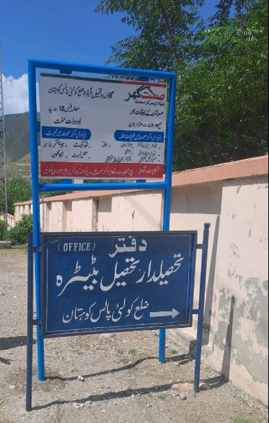
Kolai-Palas District, establish of the complete District in 2017, stands as a remote, rural mountainous land within the Hazara Division of Khyber Pakhtunkhwa. Headquartered provisionally at Pattan, the district features a deeply fragmented landscape of high altitude valleys and steep river basins. It functions as a critical ecological buffer zone, hosting the Palas Valley the world's largest remaining natural habitat for the endangered Western Tragopan pheasant and a highly dense forest logging frontier.
280,162 (2023 Digital Census)
2,660 km²
2 tehsils · 13 union councils · 52 villages
| Indicator | Value |
|---|---|
| Total population | 280,162 |
| Tehsils | 02 |
| Union councils | 13 |
| Villages | 52 |
| Total area | 2,660 km² |
| Literacy rate | 18.80% (lowest documented literacy rate of all districts in Pakistan) |
| Urbanization | 0% (100% rural) |
| Type | Count |
|---|---|
| Schools | 55 |
The public health matrix is highly strained, with local communities heavily reliant on basic outposts and cross-district medical corridors:
| Facility type | Count |
|---|---|
| THQ | 1 |
| RHCs | 2 |
| BHUs | 11 |
| Dispensaries | 12 |
| Station | Count |
|---|---|
| PS Palas | 1 |
| Total | 1 |
| Measure | Notes |
|---|---|
| Civil courts | District Courts Kolai Palas: 1 |
| Member | Constituency | Name (Party) |
|---|---|---|
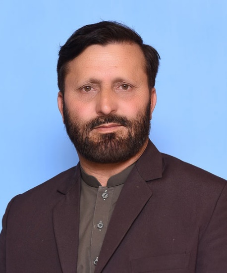 |
NA-12 (Kohistan-cum-Lower Kohistan-cum-Kolai Palas) | Mohammad Edrees (IND) |
| Member | Constituency | Name (Party) |
|---|---|---|
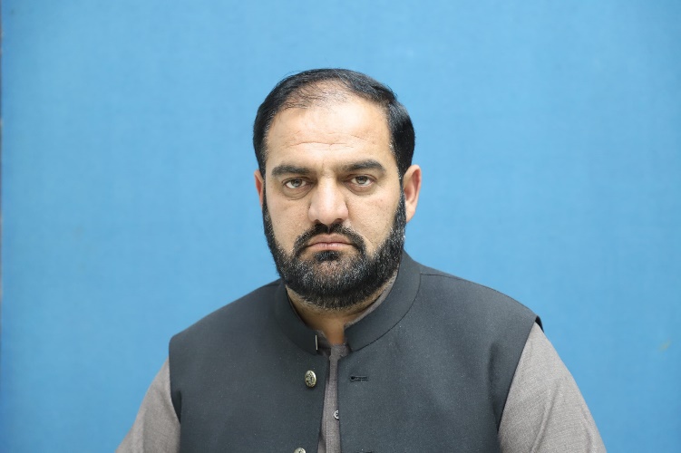 |
PK-33 Kolai Palas Kohistan | Muhammad Riaz (IND) |
The district profile exhibits a critical healthcare deficit with a 100% absence of operational DHQ facilities and a severe doctor shortage, forcing pregnant women and emergency trauma patients to rely on a single, under-resourced THQ setup or face hours of treacherous transport down to Abbottabad.
Kolai-Palas registers as the least literate region in Pakistan with a historic low 18.80% literacy rate, a systemic failure driven by an absolute geometric lack of girls' middle and high schools and chronic teacher absenteeism across its remote valleys.
Municipal records confirm a 100% absence of structured clean drinking water or sanitation pipelines, forcing more than 90% of households to fetch water directly from unsafe, unprotected mountain springs vulnerable to sudden bacterial contamination.
Deep mountain folds trap the district's 2,660 km² layout in extensive cellular dead zones, leaving communities completely marooned from early disaster warning grids despite being highly vulnerable to devastating flash floods and rockslides.
The vast majority of internal link tracks remain completely unpaved and subject to structural washouts, frequently severing the connection between isolated valley settlements and the primary Karakoram Highway for months at a time.