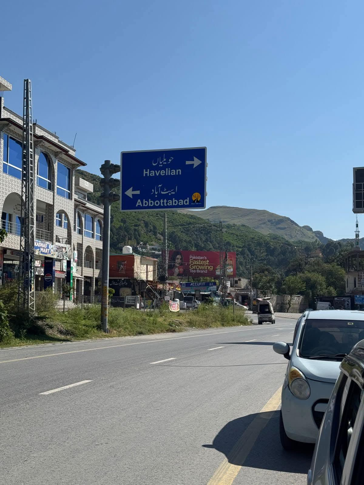
Abbottabad District Administrative and educational hub of Hazara Division — pleasant climate, strong military presence, and major healthcare and education institutions. Gateway to Nathiagali, Ayubia, and the Karakoram Highway corridor. Read More
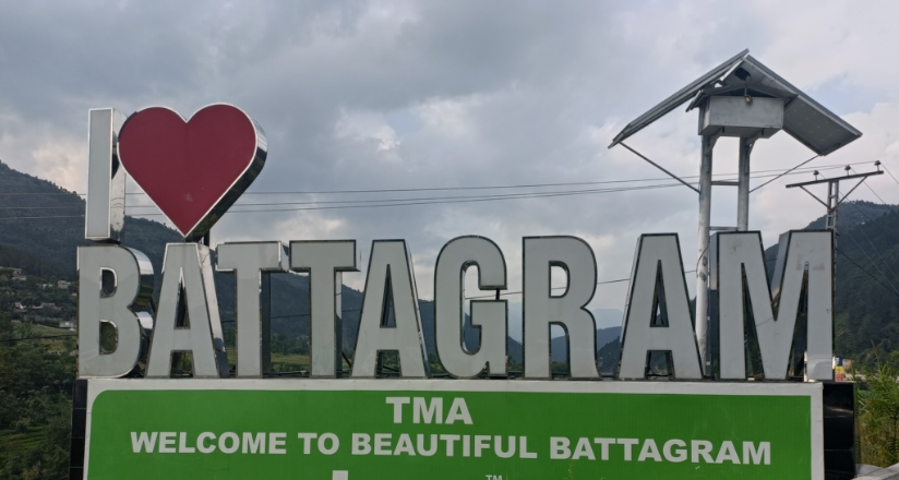
Battagram District Mountainous gateway on the Karakoram Highway connecting Hazara with Malakand. Rugged terrain, forested hills, and CPEC corridor importance — with persistent gaps in healthcare, education, and disaster resilience. Read More
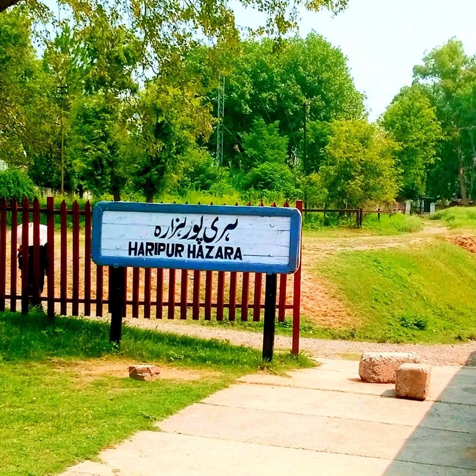
Haripur District Southern gateway of Hazara Division with fertile agriculture, the Hattar industrial belt, Tarbela Dam, and strategic links to Islamabad — facing infrastructure strain and water stress. Read More
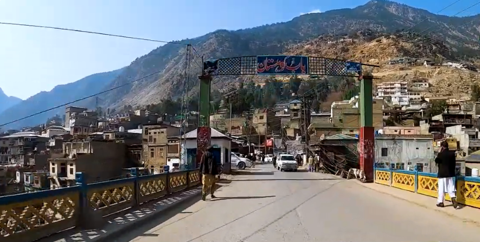
Lower Kohistan District Formed in 2014 along the Indus valley and Karakoram Highway. Among the most isolated districts in KPK — chronic infrastructure deficits, low literacy (22.05%), and no DHQ hospital. Read More
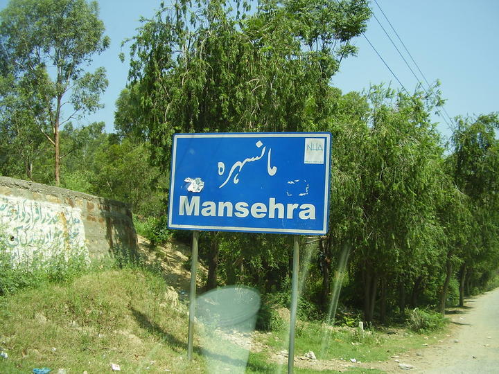
Mansehra District Northern gateway of Hazara with Kaghan Valley, Balakot, and Lake Saiful Muluk. Major tourism, agriculture, and CPEC corridor hub — with strained health services and deteriorating link roads. Read More
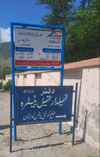
Kolai Palas District Remote mountainous district (est. 2017) with Palas Valley — world's largest Western Tragopan habitat. Pakistan's lowest literacy (18.80%), no DHQ hospital, and 100% rural population. Read More
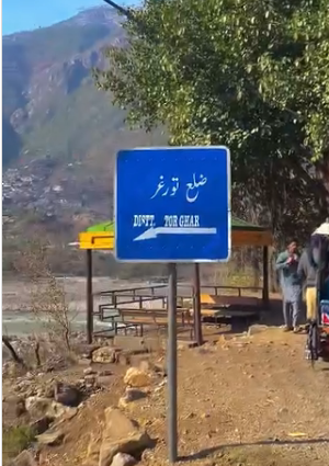
Torghar District Former Kala Dhaka (Black Mountain), carved from Mansehra in 2011. Small, pine-forested tribal frontier at Judba — no DHQ hospital, 20 BHUs, and severe connectivity gaps. Read More
Upper Kohistan District Rugged frontier at Dasu on the Indus — Karakoram Highway bottleneck and Dasu Hydropower Project. 5,440 km² with 11.08% literacy and a single DHQ hospital serving 422,947 people. Read More