Total population
200,445(2023 Digital Census)
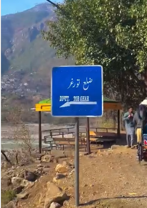
Torghar District, formerly known as Kala Dhaka (Black Mountain), was officially carved out of Mansehra District in 2011 under Article 246 of the Constitution of Pakistan. Located within the Hazara Division of Khyber Pakhtunkhwa, it is characterized by its small geographic footprint and steep pine-forested mountain ranges. Headquartered at Judba, the district acts as a isolated tribal frontier bounded by the Indus River to the west and neighboring Battagram, Buner, and Mansehra districts.
200,445(2023 Digital Census)
454 km²
3 tehsils · 16 union councils · 39 villages
| Indicator | Value |
|---|---|
| Total population | 200,445 |
| Tehsils | 03 |
| Union councils | 16 |
| Villages | 39 |
| Total area | 454 km² |
| Literacy rate | 23.86% overall (female: 12.46%) |
| Urbanization | 0% (100% rural) |
| Type | Count |
|---|---|
| Primary | 207 |
| Middle | 22 |
| Secondary | 08 |
| Higher Secondary Schools | 03 |
| Total schools | 240 government schools |
| Facility type | Count |
|---|---|
| BHU | 20 |
| Station | Count |
|---|---|
| PS Judba | 1 |
| PS Khander | 1 |
| Total | 2 |
| Measure | Notes |
|---|---|
| Civil courts | 1 District and Sessions Court, Torghar |
| Member | Constituency | Name (Party) |
|---|---|---|
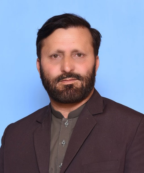 |
NA-12 (Kohistan-cum-Lower Kohistan-cum-Kolai Palas-cum-Torghar combined alignments) | Mohammad Edrees (Independent / MNA) |
| Member | Constituency | Name (Party) |
|---|---|---|
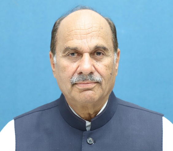 |
PK-41 Torghar | Laiq Muhammad Khan (Independents) |
Torghar suffers from chronic health exclusion, operating without a fully operational, there is no specialized District Headquarters (DHQ) hospital, only 20 BHUs forcing its 200,445 residents to negotiate unpaved mountain pathways, and to reach emergency secondary treatment in Mansehra or Abbottabad
While overall literacy reached 23.86%, female literacy remains critically low at 12.46%. Out-of-school children indicators remain among the highest in the Hazara Division due to a massive infrastructure deficit in girls' middle and high schools.
The district has a total absence of modern municipal water filtration grids, forcing more than 80% of rural mountainside households to collect daily drinking water directly from raw, unprotected mountain streams and gravity-fed pipes vulnerable to seasonal pollution.
The district’s steep 497 km² terrain is highly prone to severe soil erosion, landslides, and flash flooding, exacerbated by extensive historic deforestation and a near-complete lack of local disaster management infrastructure or stable cellular communication.
Torghar experiences absolute grid marginalization with regular 12+ hour power outages, minimal internal metalled roads connecting remote tehsils like Khander to Judba, and extensive digital communication dead zones across the valleys.