Total population
422,947 (2023 Digital Census)
Upper Kohistan District, carved out of the original undivided Kohistan District in 2014 and later re-aligned in 2018, forms a critical, rugged mountainous frontier within the Hazara Division of Khyber Pakhtunkhwa. Headquartered at Dasu, the district is split squarely by the Indus River and serves as a vital strategic bottleneck for national energy and transport logistics, anchoring the Karakoram Highway corridor and the massive under-construction Dasu Hydropower Project.
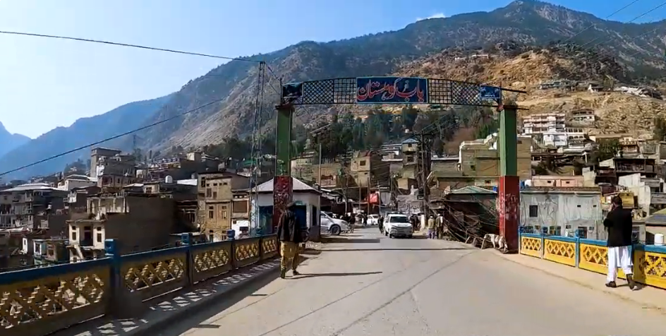
422,947 (2023 Digital Census)
5,440 km²
4 tehsils · 16 union councils · 42 village councils
| Indicator | Value |
|---|---|
| Total population | 422,947 |
| Tehsils | 4 (Dasu, Kandia, Seo, Harban Basha) |
| Union councils | 16 |
| Village councils | 42 |
| Total area | 5,440 km² |
| Literacy rate | 11.08% (Male: 9.38% / Female: 48.48%) |
| Urbanization | 0% (100% rural settlements) |
| Type | Count |
|---|---|
| Primary | 346 |
| Middle | 30 |
| Secondary | 14 |
| Total schools | 390 |
| College (located in Dasu) | 1 |
| Facility type | Count |
|---|---|
| DHQ Hospital Dasu | 1 |
| Basic Health Units | 16 |
| Civil Dispensaries | 03 |
| Rural Health Center | 02 |
| Station | Count |
|---|---|
| PS Dasu | 1 |
| PS Komila | 1 |
| Total | 2 |
| Court | Count |
|---|---|
| District and Sessions Court (Dasu) | 1 |
| Civil Judge-cum-Judicial Magistrate (Dassu) | 1 |
| Member | Constituency | Name (Party) |
|---|---|---|
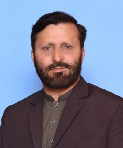 |
NA-12 (Kohistan-cum-Lower Kohistan-cum-Kolai Palas) | Mohammad Edrees (Independent / MNA) |
| Member | Constituency | Name (Party) |
|---|---|---|
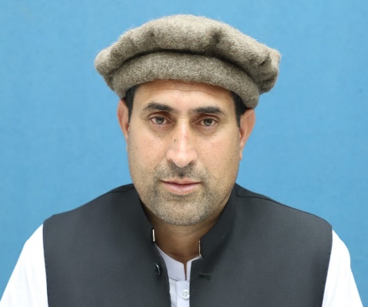 |
PK-31 Kohistan Upper | Fazal Haq (Independents) |
Upper Kohistan faces shortfall in DHQ hospitals, forcing population of 422,947 to rely entirely on a single DHQ hospital in Dasu, which completely lacks specialized neonatal or trauma units across its peripheral mountain tehsils.
The district suffers from a critically low 11.08% overall literacy rate with literacy dropping to a lowest of male 9.38% and 48.48%, total Net Enrollment Rate is 5.64 % in middle, high and H/secondary level and 18.18 % is in primary level, compounded by acute infrastructure deficit where a majority of remote mountain union councils lack a single functional girls’ middle or high school.
The district operates under a 100% deficit in structured municipal water treatment grids, draining more than 85% of rural households to rely directly on contaminated natural mountain streams and unprotected gravity fed pipelines.
Severe geographic vulnerability exposes the district’s 5,440 km² land to frequent, catastrophic landslides and flash floods, a crisis compounded by zero municipal waste systems and massive cellular dead zones across its rural council blocks.
Upper Kohistan suffer from bad infrastructure, experiencing absolute grid exclusion,12+ hour power outages alongside extensive cellular dead zones that leave major pockets of the 5,440 km² mountainous terrain completely marooned from digital communication.